Monday, July 21, 2014

Five State Roundup: Part III: Oklahoma, Kansas, and Nebraska

After driving down out of Taos Ski Valley, and making my roundabout way to head east of Wheeler Peak, I found myself on a twisting hilly two-lane road. I passed Eagle Nest Lake State Park and Cimarron Canyon State Park. But not before some punk in a behemoth bright red pickup truck came squealing around a hairpin curve easily two feet over the center line. I had an escape route picked out, but he jerked the wheel at the last second and missed me.

Nothing like an adrenaline rush to keep you awake for the rest of the drive.

I was headed for Clayton, NM, and once I drove down to the Plains, it was a very straight drive due east. For a few hours, this was my view. I was on the Santa Fe Scenic Byway. I kept trying to remember what characters in US history blazed the Santa Fe Trail. The only name that came to mind was Kit Carson.

I saw a highway sign to Las Vegas and was confused, but apparently there is one in New Mexico.

One of the many farms I passed displayed an Alien Exhibit roadside advertisement! Roswell was 250 miles away, they were really milking it.

It was at about this point (flat, straight highway) that I started to study the crack in the windshield. Remember my drive out of Elbert Campground and the rock that hit my car? Way at the bottom and very centered on the window was a crack that looked like a small spider. I first noticed it driving to Taos which probably partly accounted for my black mood there. I began to worry because I hadn't opted for any rental insurance. And what if the crack got noticeably bigger before I turned in the car?

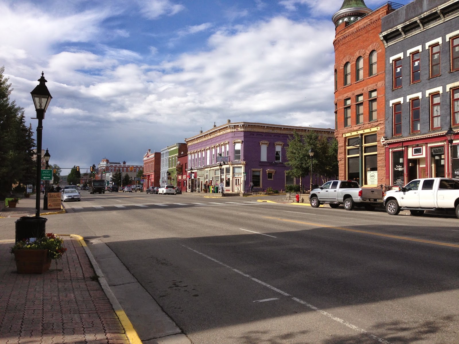
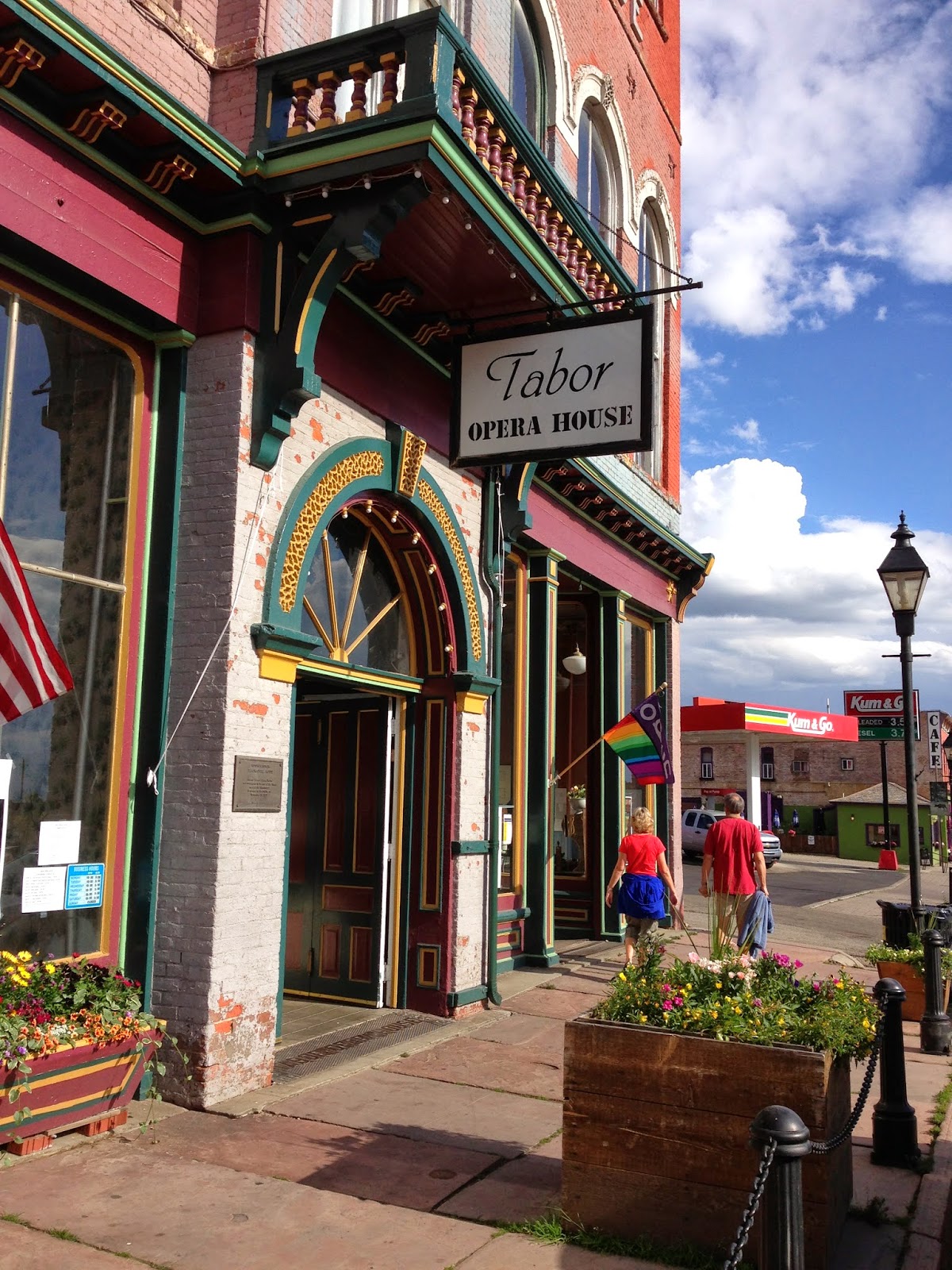
I arrived at Clayton in late afternoon, checking in at the Super 8. I noticed driving into town the restaurant pickings were slim and included the western states magical three: Dairy Queen, Subway, and Pizza Hut. Oh, please, please, don't make me eat in those places! I asked at the desk for suggestions, hoping that restaurants weren't closed due to it being Sunday evening. As things turned out, they directed me to a restaurant that was closed. So I drove around a bit and looked down some side streets and Bingo! I see a blinking "Eat and Drink" sign under an awning. It turned out to be the Hotel Eklund where you can "experience the Real Old West."

The Eklund is an interesting historic hotel with nice people and good food; a lifeline to a hungry woman in a strange town. And nobody looked askance at me when I walked into the bar. Some of the locals were in there just to have a beer or two and watch the Sunday football game.

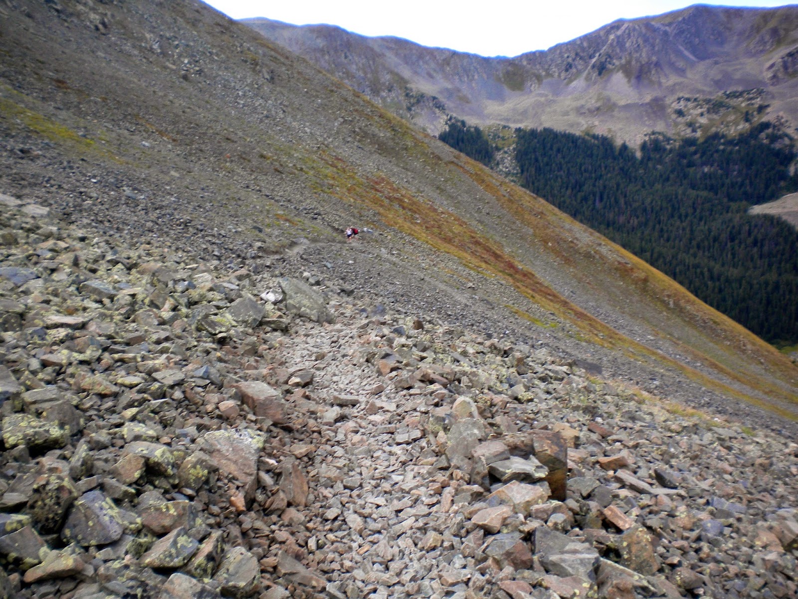
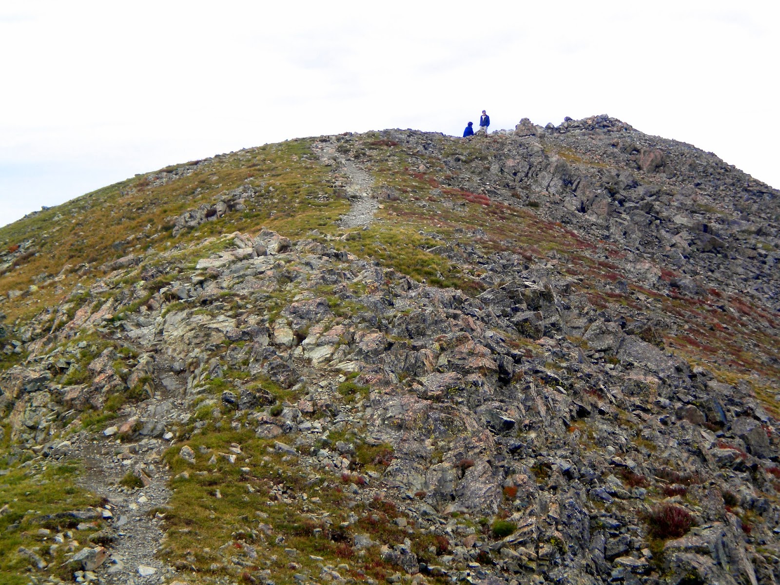
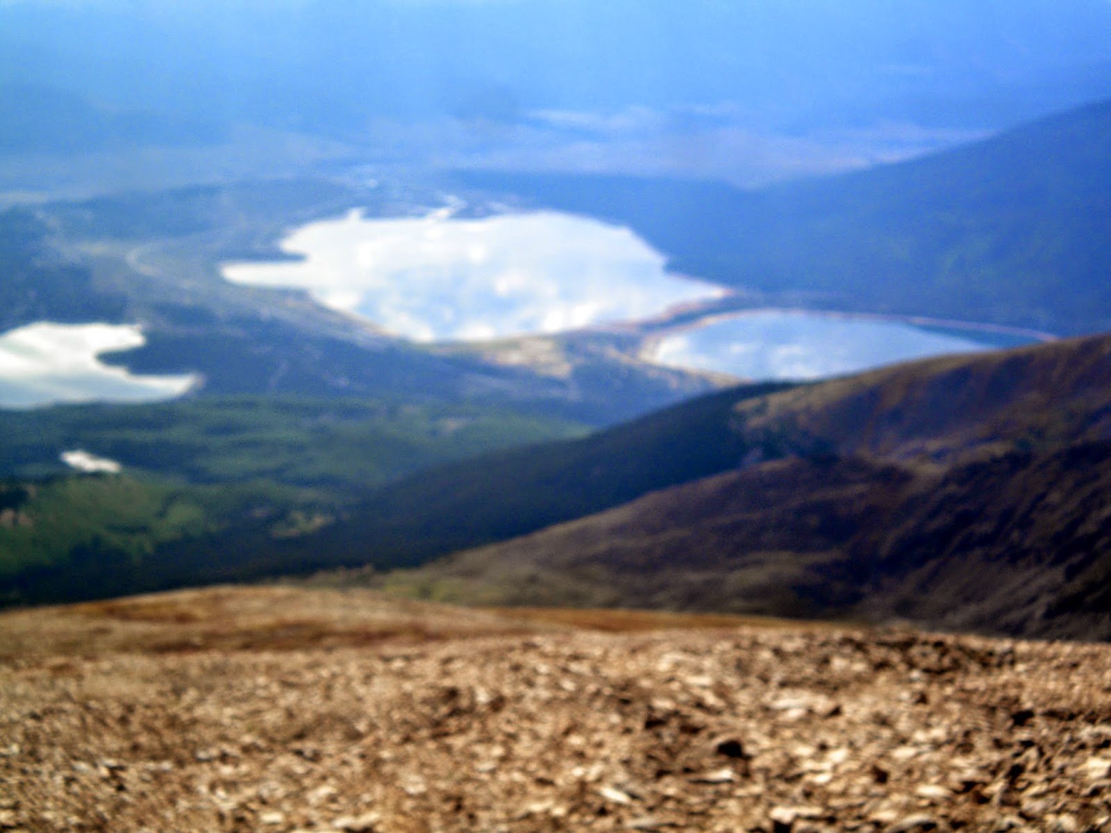
The next morning at 8 am, I scooted out of the Super 8 after my obligatory waffle and headed for Oklahoma. I was looking for Black Mesa, Oklahoma's high point at 4,973 ft. Despite not being very high and having a trail with a vertical gain of only 800 feet, it was still an 8.4 mile round trip hike.

I arrived around 9 am, since I only had to drive over the state line into the Oklahoma panhandle. Here is the trail head. To my surprise, there were two cars there already, maybe because it was Labor Day. I debated sleeveless shirt or not, sunscreen or not, definitely hat and sunglasses, a bandana to shield my neck from the sun (or swivel it around to the front in case of a dust storm) and plenty of water and a snack. The sun was already hot at 9 am and there could be snakes. I had hiking pants on, but was certain they wouldn't protect me from a rattler's bite. I went with the sleeveless shirt, slathered sunscreen on my arms and took off.

This was one of my first sights as I headed down the dusty trail, and I think it is the prettiest picture that I captured the entire trip with the bright sunflowers in the foreground. I still have it as wallpaper in my iPhone.
Every now and then I spied these green metal arrow signs that they put along the trail, lest you lose your way on the dirt wagon wheel track. It is most probably a jeep track, but I liked to think wagon wheels made those ruts. I was in the Real Old West, after all.

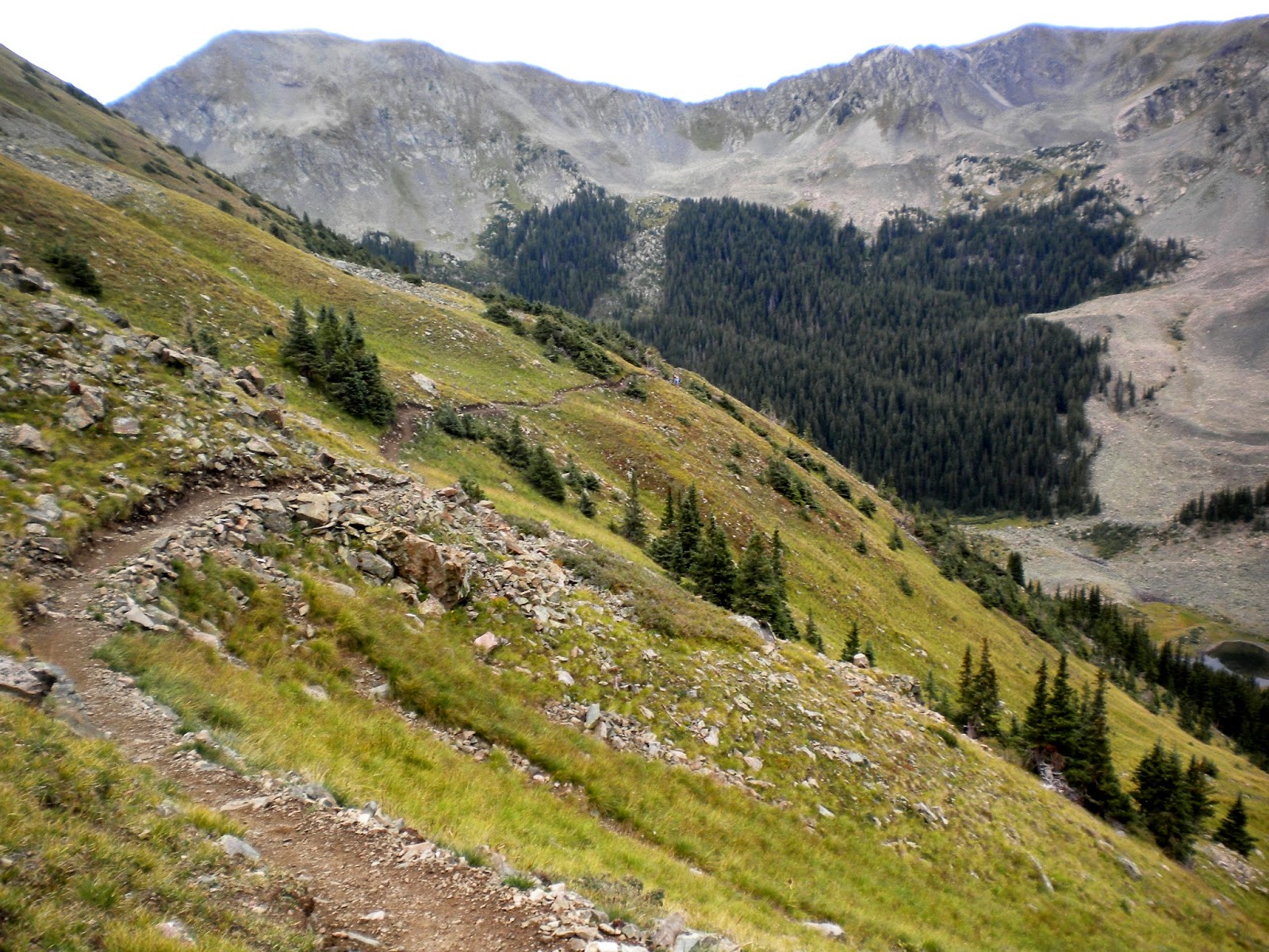
As I walked, the sun baked the grasses, the cactus, and the ground under my feet. It baked the scrubby pines, and their scent wafted on the warm air. My boots were layered with the dry reddish dirt. The earth seemed to sizzle as grasshoppers the color of straw flicked and leapt about and crackled and popped in the longer brush at the sides of the trail. It sounded like they were snapping and popping with the heat, like popcorn.

Do you know the sound of a few drops of water hitting hot oil in a frying pan? That's exactly how some of the insects sounded -- making it seem as though the sun was even more searing than it was.

There are also these friendly benches that tell you how far you've come. I suppose this is so you can sit a spell and contemplate how much farther you have to go. And also which one of those mesas is the highest.


Then I came around a bend and saw this mesa with a trail spiraling up its cone. This must be it! My trail must somehow connect and the summit is at the top!
My trail did connect, but when I reached the top, 800 vertical feet later, I looked out upon a vast table of grassland. And this sign.

The summit was to have a large obelisk on it. I didn't see any obelisk on the wide horizon.

So I marched ahead keeping an eye out for the marker. Fifteen minutes or so later, I saw it, and as I drew close, I noticed there was another couple there getting ready to leave. If I hurried, I could get them to take my picture first.

Which they did. But I can't find it now. Good thing I snapped this self portrait after they left. I asked if they were high pointers. Surely they were, who else would come out here on this hot and dusty day when they could be having a Labor Day cookout at home by the pool? THEY WEREN'T! They didn't even know what high pointers were. Hmmph.

This obelisk, made of native granite, very impressively lists the adjoining states to Oklahoma's panhandle and posts how far away they are:

New Mexico: 1,299 ft. due west
Texas: 31 miles due south
Kansas: 53 miles northeast
Colorado: 4.7 miles due north

It is noteworthy how many high points are near state borders. I have noticed this all along.

I sat in the narrow shade of the obelisk and drank a gatorade and had a snack. Better than sitting in the shade of that shrub and getting bit in the arse by a rattle snake!

The temperature rose as I sat there in the simmering heat. It was like being in a warming oven. I didn't want to linger too long, so I zipped up my pack and looked for the log book. It was inside of this antique metal ammo box that was sitting by the obelisk. It reminded me of GI Joe paraphernalia that I played with as a child. So much more fun than Barbies.


High Point #33, Labor Day, September 2, 2013.

This is the view from the top of the table land on my way out. I wouldn't want to live here, but these mesas are very pretty and I'm glad I got to see them.

I hiked back out as fast as I could walk and when I got back to the car I took off as many clothes as I could and got going. My plan was to find a gas station, wash up with the coldest water possible, and get an icy drink. Time to head to Kansas!

My drive out of Oklahoma and up through Eastern Colorado was the stuff road trips are made of! Almost five hours of long straight road with a few dips and hills and very little traffic. I kicked off my shoes and used cruise control off and on. I played with my satellite radio, switching it up from 40's music to 50's, 60's, 70's and 80's. I crunched on the ice in my drink. I tried various flavors of gum I had bought. I was obsessed and worried about the spider-shaped crack in my windshield and imagined it was spreading slowly out. I reduced my speed as I passed through the small towns, having spotted them first by the group of tall silos on the horizon. I looked curiously about as I drove through town. The farmers here wore cowboy boots and cowboy hats. The midwest farmers just wear work boots and baseball hats. Cowboy boots, I think, help men to walk with a swagger! Then I would speed back up as I headed out to farm country again. The farms were huge! How do these people ever get to know their neighbors? How far do they have to drive for school, church, or a community spaghetti supper, or BBQ and pinto bean supper, or whatever they have? I stopped in one friendly-looking town with a diner to get some lunch. Everyone turned and looked at me when I came in. There was a table to one side with a hot pot of pinto beans that you could apparently help yourself to, no matter what you ordered. My lunch was served in a plastic basket with plastic paper liner. I got an iced water to go (heavy on the ice) and continued on my way.

My route wandered in and out of the Mountain and Central time zones. It confused me once or twice when I thought I was making good time, and then not! When I spotted the sign for US 40, I checked my directions to the Kansas high point. I soon realized that I forgot to include the detailed directions, so I had to pull over and get my iPhone out. I googled my high point website and jotted down a few directions, then headed east on Rt. 40 toward Kansas.


Shortly after crossing the border into Kansas, I was to turn left on a gravel road, then look for this sign. Then go until I saw another sign for Mt. Sunflower. The gravel roads were good so I was clipping along at a fair pace. At mile 10 I came over a hill and noticed that the road at the bottom of the dip was covered in water.  I skidded to a stop in the gravel.


Panic! What if I can't cross it? My paper map just didn't include these small roads. How would I know how to go around this obstacle to get to the high point? I got out to inspect the water and found it wasn't that deep. I could cross through it and be okay. So I got back in the car and plunged into the water, hoping that nothing stupid would happen to get me stuck. Luckily nothing did and I crossed easily and was soon on my way again, breathing a sigh of relief. Lucky too that the road was packed gravel and not just dirt.

Obviously "Mount" Sunflower is a misnomer. Although the altitude is fairly high, these are the high plains and we are on flat ground here.

Kansas has a very whimsical high point

Now I know what "the wind comes sweeping down the plain" really means.

Yes, that's right! 4,039 ft! Nearly as high as KY's high point, and that's up on a mountaintop.

High Point #34, Labor Day, September 2, 2013. Thank you to the good people who own this land and readily allow complete strangers like me to drive onto it like they own the place, and get out of their cars and start snapping pictures.

I saw no one and didn't spend much time there. I signed the log in the mailbox, got back in the car, and headed for Goodland, Kansas and my motel for the night.

Which was another Super 8. I find Super 8s inexpensive but clean. I don't need a pool, or spa, or workout room or cookies in the lobby. I just want a clean bed and bath room and coffee in the morning.

It wasn't far to Goodland and I found the Super 8 easily. I checked in, then got back in my car to park near my room when I first heard the Mexican music. The parking lot was packed and I drove slowly along until I spied an empty space right next to where my room should be! But as I drew near, I saw it wasn't empty. There was a big charcoal grill parked in it smoking away with a dozen or so Mexican construction workers standing or sitting around on coolers and drinking beer. The music streamed from one of their big pickup trucks. The party spilled up onto the sidewalk as well. They all watched me drive by and smiled at me. I tried to smile back but they probably saw a not so happy woman with a look of consternation staring back at them. I continued my circle around the motel and in the end had to settle for a spot up front near the office.

I got stiffly out of the car (lots of hiking, lots of driving) and grabbed my pack and purse and wheeled my suitcase down the walk. Still scantily clothed, hair all disheveled, feeling sweaty, I made my way to my room. With as much poise as possible, I strolled through the middle of their party smiling at one or two of them. 12 pairs of eyes watched as I stepped up to my door, keyed it open, disappeared inside and firmly shut it.

I cleaned up my pack and hiking clothes to the sound of the Mariachi. I showered and dressed to guitars, trumpets, and violins. I left to go to dinner and the men were now chowing down on their grilled corn on the cob, Mexican lyrics blaring loudly, the intricate rhythms accompanied by tambourine and maracas.

As I drove through the now dark town to find dinner, I spied a gigantic and colorful Van Gogh painting hovering in the air! I drove closer and found this enlarged replica of one of his Sunflower paintings on a huge easel. I came back in the morning to take this picture before heading out. How apropos: Mt. Sunflower high point, the Sunflower state, and Sunflowers by Van Gogh.

Panorama Point, Nebraska, was my final destination. I passed straight through the northwest corner of Kansas. I was in Nebraska for only moments before I entered Colorado. Then west in Nebraska again. I even dabbled in Pine Bluffs, Wyoming before getting on the gravel tracts that would take me to Nebraska's high point, another privately owned farm.


Once out of town, the directions were fairly clear, the "good dirt roads" were labelled with numbers, but it said they may not be marked, so use your trip meter. I must have done well because I finally found this marker with no wrong turns.


Then on past the owner's farm house and up to this sign. They asked for a donation of $3 which I was happy to pay.

The high point, called Panorama Point, is in the middle of a bison ranch.

Here is the marker. It is caged in because you can drive straight up to it, and I suppose they don't want anyone accidentally backing into it in the dark or something (yes, some people do high point in the middle of the night).

See all those little black dots? Bison!


And here I am. High Point #35, September 3, 2013. This one has an altitude of 5,424 feet. It was hard for me to imagine driving up flat land to an altitude slightly higher than the formidable Mt. Marcy in New York State.

I went into the little town of Pine Bluffs to mail my backpack knife back home. Tomorrow I was flying to Maine, and I wasn't going to check my bag.

I had accomplished all five high points. It was time to drive to Denver, say goodbye to the Rockies and stop pretending I was a cowgirl.

Instead, I would pretend I was a New Englander with their clipped short words and their stern ways, their sense of survival and do it yourself resourcefulness, and their quiet but wicked sense of humor. In my heart of hearts, though, I know that I am a New Englander (temporarily displaced in Kentucky) and that I was going home.

Thursday, June 26, 2014

Five State Roundup: Part II: On Top of Wheeler Peak

I was buoyed up with enthusiasm after summiting Elbert, and as I was driving back out of the Elbert Campground on the gravel road, perhaps I was following the car in front of me too closely. Anyway, the car's tire spun a rock up into my rental car's dusty windshield. It made an awfully loud crack, but I couldn't see any damage. More on this later.

Returning to my room at the Silver King Inn & Suites, I showered and cleaned up my hiking clothes and boots and gear and then headed to downtown Leadville. Now I could relax, explore the town, then later have a beer and dinner (which I did, at Quincy's Tavern).

Strolling through town was fun. By the looks of things, I'm sure this historic town hadn't changed much over the years, except maybe for paved streets and electric traffic lights.

I thought about my grandparents who spent some time here during their early marriage years (circa 1916) while they lived in Denver. What did they do here?

Tabor Opera House
Leadville sits at 10,152 feet. It is still the highest incorporated city in North America. It has a history rich in the mining of gold, silver, lead, zinc and copper. It also has a festive past and still sports the Tabor Grand Hotel and Opera House. The world-famous magician Harry Houdini, John Philip Sousa, the British wit Oscar Wilde, the great actress Sarah Bernhardt and many wonderful operatic performers "trod the boards" of The Tabor during its heyday.

Doc Holliday


Also around 1883, outlaw Doc Holliday moved to Leadville, shortly after the gun fight at the O.K. Corral. On August 19, 1884, Holliday shot ex-Leadville policeman, Billy Allen, after Allen threatened Holliday for failing to pay a $5 debt. Despite overwhelming evidence implicating him, a jury found Holliday not guilty of the shooting or attempted murder.

As I soaked up the sun in the historic mountain town, I watched the thunderclouds gathering above the mountains lying just outside of town. Definitely raining on the summits now! This was August 30 (2013) and the sun was hot, hot, hot, but the air was cool. When I walked up one side of the street in the sun, I was sweating and could feel the sun's rays burning my skin. But when I crossed to the other side in the shade, I felt like I should pull on a fleece. Such is Colorado's summertime.

The next morning I reluctantly bade goodbye to Leadville to head to New Mexico. The drive was gorgeous heading south along US Highway 24. I was passing Mt. Massive, Elbert, Mt. Hope, Emerald Peak, and then came the collegiate mountains. Oxford, Harvard, Yale, and others. I stopped and took a photo of Mt. Yale and sent it by text to my niece Susanna who had just been awarded her doctoral degree there. Isn't it impressive? Yes, both niece and mountain! She texted back and said she didn't know there were collegiate mountains but agreed it was beautiful.

Mt. Yale

Finally I crossed into New Mexico. The mountains stopped looking beautiful. The landscape grew more dry and barren looking. The highway was straight and flat. Little pueblo homes half buried in the earth started appearing here and there. Who would live here, I thought? I know people love the southwest, but I have never been a fan. My destination was Taos. As I approached, I scanned the horizon to see if I could see the high point.

As a high pointer, I always do that, and I wonder if others do. When I arrive in the general vicinity of my high point, I start looking for it, no matter it's elevation! It is usually visible, unless it's buried behind other mountains.

When I arrived in downtown Taos, there was a huge traffic jam, and the cars crawled along. It was hot. The sidewalks were teeming with tourists. American Indian motives fought and rubbed with Spanish decor. It took forever to go a few miles. I checked into my inn and decided an afternoon spent by the pool sounded restful and inviting.

I took my iPhone with me and checked the local weather in the Sangre de Cristo mountain range. The forecast called for thunderstorms that afternoon, evening and the next morning! My mood became as black as the sky looks in this picture even though the weather around me was idyllic. I sat by the pool in the sun reading a book and glared at the mountains from time to time. It was storming up there right now! I cursed the mountains. I cursed New Mexico. I hated New Mexico. I would have brought a nice stiff drink out to the pool with me (or two) if I didn't have to hike early the next morning at a high altitude. "This is it, New Mexico, your only chance! I am here now, and I am not coming back! Do you hear me? I am never setting foot inside this state again, and I will hike in the rain, though I really don't want to." My mind continued to rant and swear like a sailor. I pictured slippery trails, rain dripping down my neck, and being impossibly hot inside my rain gear (wet inside and out) while I hiked to 13,000 feet. Not to mention thunder strikes.

Then suddenly, as your mind has a way of eventually accepting the inevitable, no matter how dismaying, my thoughts turned around. I shouldn't be sitting here cursing the mountains, was I completely mad? I should be appeasing the gods of the mountain, offering sacrifices to the Blood of Christ, asking for blessings for me and for the surrounding area, offering gifts, burning incense and preparing prayer flags.

The next morning I checked out before dawn and drove up the road to Taos Ski Valley in darkness (missing the inn's free breakfast once again). I was entering the Carson National Forest. After the entrance to the Ski Resort, the car climbed another 1,000 feet up to the Bavarian Restaurant and Phoenix Grill behind which was the trail head. I was rummaging in my car doing last minute preparations very quietly because I could see there were tent campers scattered around. When at last I found what I was looking for (which was, in fact, already in my pack), I discovered I could abandon my flash light because of the pre-dawn light. I stole quietly over the grounds, hiking under the base of the Kachina ski lift, as per my directions. Here and there were tents and then I passed a campfire with people still quietly talking and singing to a ukulele. These people hadn't been to bed yet! They were still partying!


The trail was broad, rocky, and well worn, and it ascended gradually 2 miles toward Williams Lake. It crosses avalanche trails and you can see where large swaths of pines were flattened.


Shortly before the lake was an intersecting trail for Wheeler summit.


Just above treeline


Looking back down the trail
The new path narrowed and it would be another 2 miles and 2,000 more feet of vertical gain. I quickly got above treeline.


There was no messing around now. My route description said, "the trail rapidly climbs through a series of switchbacks" and hikers' comments include, "a quick way to get off the mountain, but a bitch to get up." Another referred to "those nasty switchbacks."


As I hiked ever higher, I would look up at the ridge and think, "I only need to gain the ridge, I only need to gain the ridge." But somehow that ridge never looked any closer. The narrow path was steep, altitude air was thin, and I was stopping to breathe at the end of every switch back. Again.

Sometimes the trail would cross these scree fields and then managing your footing got a little slippery, being on gravel-sized rocks and on a steep pitch as well.

I spotted two hikers coming up behind me quite a ways down. I thought they would pass me up shortly, just like on Elbert, but then they didn't seem to get any closer.

So, I just kept at it, back and forth across the mountain slowly gaining the seemingly elusive ridge that I could see but couldn't quite reach. Then finally, FINALLY, I saw the cairn that marked the ridge top and heaved myself up and over the last steep part!


Hallelujah! And it wasn't raining! The gods were smiling on me. Good thing I had that change of heart the day before.


To my left the ridge trail mosied over to Mount Walter. While I was all the way up here, I wondered if I should hike on over and summit it too? I wondered for about a second and then thought, "Heck no!"


Instead I turned right where the trail meandered over a few false summits and then on to the actual summit of Wheeler Peak.
And here I am! High point #32, Wheeler Peak, NM, at 13,161 feet. September 1, 2013.

A couple of campers who beat me to the top that day took my picture and we were shortly joined by the 2 young men behind me. Here we are looking DOWN at Taos Ski Valley. I remember skiing there one winter. I didn't have fun then, either. And they didn't allow snow boarding.


The way down, as always, was easy with a panoramic view spread out before me.


See the scrubby plants covering the steep mountainside? Well every so often a marmot would wait until I was practically upon it, and then suddenly explode up through the shrubbery and run away, scaring the daylights out of me.


As I strode up to the parking lot, I could see now in the light of day that there was some kind of music festival going on at the Bavarian. There was a stage where some young men were performing sound checks. And a few early risers from the many tents scattered around, were up and about (it was about 11 am). But most were still asleep! The sun was high and hot and I thought it must be starting to get hot inside those tents. It was hot outside the tents!!

Back at the car I first took off my hiking boots and socks (bliss!). Then changed into shorts and took out a map. I was leaving immediately for Oklahoma and the highway heading there was really close! But unfortunately, as my friends from Maine like to say, YOU CAN'T GET THERE FROM HERE!


Tuesday, April 15, 2014

Five State Roundup: Part I: Conquering Elbert

After completing the Georgia and South Carolina high points in February, all the southern lowland states in March, and the formidable Marcy in New York in May, I finally had to set my sights west. I was too late for the lottery that wins you a pass up Mt. Whitney in California. The Northwest was full of difficult mountains where I would definitely need a guide and training.

So I thought I would mix some tougher with some easy, thereby coming up with my Five State Roundup. I say Roundup because on the map the five high points form a loop. Plus there is the tough cowboy western sound to the word. The name presents a challenge and makes me feel bad-ass all at once. There was only a 2-4 hour drive between each. I could fly into Denver, rent a car, and be on my way.

Originally I planned on doing the flat drive-ups (Nebraska and Kansas) followed by high points increasing in altitude (Oklahoma, New Mexico, and Colorado) so as to acclimate while I went. I made reservations. As my trip got closer, however, in checking the weather forecast I noticed BIG thunderstorms in store for Colorado at the end of my trip. (These ended up being the storm systems that poured inches of rain onto Colorado and caused much flooding in September 2013.) So I flipped the itinerary to do Colorado first ending with Nebraska. I can always drive in the rain, just wouldn't want to be caught at 14,400 ft. in a torrential thunderstorm.

I changed hotel reservations, borrowed some altitude sickness medication from my high pointing friend, John, and prepared to go west.

I flew to Denver on Thursday, August 29, rented a car and drove to Leadville arriving in the early afternoon. After checking into the Silver King Inn (the name makes me think of sweet corn back in Ohio), I immediately drove to inspect the North Mt. Elbert trail head in the light of day, since I would be starting out at 4 am the next morning. I headed southwest out of Leadville and drove the Halfmoon Road (which turns quickly into a dirt rutted road), through Halfmoon camping area and on to Elbert Creek Campground. I got out of the car, took a quick look around, checked my trail directions, then started back to Leadville. As I drove through these campgrounds, I had a distinct feeling that my brother Tony had been here a number of years before. I hoped his spirit would be with me on my hike.

I picked up some dinner on the way back and ate in my room. I had shopped earlier for trail food and I put all my gear in order for the big push to the top of Elbert, double checking everything. I read and reread the trail directions, getting a good picture in my mind. I had been drinking water all day long to stave off any kind of altitude sickness or dehydration caused by dryer climate. I took a little motrin at any sign of a headache.

I had no trouble going to bed early, still being on Cincinnati time. I fell asleep feeling relaxed, but hoping that A) I wouldn't get altitude sickness the next day as I climbed up Elbert's slope, and B) that I could actually climb the durn thing. I was a lowlander and hadn't had time to acclimate, so I knew breathing could be tough up there for me.

The next morning I was at the trail head and ready to go, flashlight in hand, at 430. I locked my car and saw that there were quite a few cars in the lot. At first I thought I was alone. But after taking a few steps in the dark, I noticed a white blur standing next to another car--a man standing spookily and silently by his car, probably hoping I wouldn't notice. But I did and was careful not to shine my light in his face. I called out, "Are you heading out?" I thought two flashlights might be better than one on this dark morning with only a waning crescent moon for light.

He responded, "I wouldn't be so foolish as to hike with only a headlamp."

"Okay, see ya then," I said as I strode purposefully away. I kept my light on the ground and any posted signs that loomed up in the darkness as I started out. As intent as I was on making a good beginning, it took me a few minutes to realize that the man was calling me foolish. "Oh well," I thought. "I'll be okay."

The North Elbert Trail is described as 4.6 miles with an elevation gain of 4,500 feet. Quite strenuous, but definitely rewarding. It begins by "hiking up through the great forest". I couldn't see anything except for the roots and rocks at my feet in the light of my flashlight. The woods were silent at predawn with only the sound of distant water. Even my boot clad feet were quiet on the pine needled trail. After about 2 1/2 miles I reached treeline at 11,900 feet and stopped to turn around, take in the panoramic sunrise, and have a snack.


Gentle Slope
The next part of the trail "switchbacks up a gentle slope".  I was looking forward to this part, because I thought it would be easy, before the "steep and difficult crux of the trail" that was to come later. But to my surprise and alarm, there was nothing at all "gentle" about this "slope". I had to stop at each and every switchback to catch my breath and let my heartbeat slow. Then I would turn and start up the next trying to breathe steadily.

The mountainside was so quiet and still at dawn, the only thing I could hear was the sound of my heaving breath and my heartbeat thundering in my ears. It was a little consolation to turn and take in the view of the slowly brightening and unfolding panorama. I stood still and took in the view, then after my heart and breath slowed, I would venture up the next course. Very quickly, I couldn't even make it across one full switchback. It got so that I was counting steps and then stopping and counting breaths and then going again, just to keep making steady progress. And of course the higher I got the harder it was to breathe. I started to really worry about being able to do the top part. As the number of steps between pauses to gasp for breath decreased, the niggling fear started to set in, "What if I can't do this?" and then, "I have a lot of time," I reasoned with myself. But I didn't have all day. There was the noontime daily thunderstorm to watch out for.

Just over this ridge is the large cirque


Finally, blissfully, I made it to the top of the northeast ridge.


I sat on a cairn, took a drink of water and pulled out a snack to enjoy while watching the sunrise and view, but mostly I was surveying the next part of the trail. With a cold eye.


From here I could see the large cirque at the top of Box Creek and quickly got my bearings. Straight up the ridge went the trail and then up the steep terrain to the small but really steep cone, the "crux" of the trail that climbs through talus. Once I gained that, it was easy sailing over a false summit and then on to the true summit. I started to relax for the first time. It all looked so close. "Hell, I can do that!" I thought. The worse was over.

As I sat there, I got out my iPhone and looked up two words: cirque - a bowl-shaped, steep-walled mountain basin carved by glaciation, often containing a small, round lake; and talus - a sloping mass of rocky fragments at the base of a cliff. I looked more closely at the cone. Was I going to take one step up that steep slope only to slide back two?


If you notice, reader, I have this terrible habit of doubting my abilities to summit until the summit is in plain view and I am a mere 20 yards from it.


I stood up and pulled on another layer and hat. With courage I started toward the crux. I could see more on the other side of the mountain as I gained altitude. My world opened up all around me, even though my goal was still the top of that cone.
 

Soon I arrived at the base of the cone, and as I climbed the talus-covered short switchbacks, I noticed three hikers in the distance coming up behind me. I stopped and watched them. All men. They didn't have to stop at every switchback. They didn't stop at all. They didn't look like they were fighting for breath, either. They moved like mechanized machines with their trekking poles swinging with every step. And they're clearly going to beat me to the top of this damn cone. In another 10 minutes, two of them were passing me by with hearty hellos. I was happy to see them and filled with renewed energy, but following them I still had to stop and breathe at every turn.


Once the false summit was gained, the rest was easy and before I knew it, I had joined them at the summit. The sun was all the way up now and the view was glorious. I felt like The Grinch when his heart grew three sizes that day.


I looked in every direction at mountaintops crammed shoulder to shoulder as far as the eye could see. 


I saw Twin Lakes and Emerald Lake, Mt. Massive, La Plada Peak, the Collegiate Peaks.


The friendly men became my lunch mates, plus someone to take my picture at the summit. Lunch at 9 am at the top of Colorado! at the top of the Rocky Mountains! my highest high point yet at 14,433 ft! I did it and I was ecstatic.

The four of us settled right at the cairn that marked the summit and exchanged information. Where we were from, where we started the hike, what time. 

They had started where I did, but an hour later than me! They mentioned a kooky guy acting weird in the parking lot. I said I saw one too, all in white. They said no, their man had on a red jacket. 


As we ate lunch and swapped stories and food, others began to arrive at the summit from different directions. Deciding to give them their turn, I packed up and said goodbye to my new found friends to head back down, still feeling great, still marveling at the view. 

Starting down
Then came this loud voice, "Hey! I'm sorry if I offended you down there. I thought about what I said and hoped you didn't think I was talking about you!"
I looked up. It was the spooky guy from the parking lot.

"It's okay, I didn't," I lied. I noticed he had a red jacket on. How did he know me? It was dark then.

"It's just that I was in my long johns," his voice rang out across all of the summit, even though he was only 10 feet from me. Everyone stopped to watch and listen. "So you surprised me there in the parking lot without my clothes on."

I looked around to see the bemused looks on people's faces and the knowing winks from my 3 new friends. I could tell they were thinking, "We told you he was a nutcase."
"I was waiting for light," he continued. "I won't hike in the dark myself, especially on an unknown trail. I was only talking about myself--that I wouldn't hike in the dark. But not you."

Alright already. It seemed the only thing I could do to shut him up was walk away. Which I did. I called back over my shoulder, "No worries!" And added sotto voce, "Spooky kook!"

This looks a lot more scary and steep than it is. Note the talus.
Coming down a mountain is always a joy for a few reasons. First of all, hopefully, you've done it! You've achieved your goal, you have some lovely pictures in your camera, and you feel good. Secondly, you see the view you missed a lot of on the way up. Thirdly, your lungs don't feel like bursting. Your braking muscles and joints have to work hard, but that is a small thing, comparatively.
   
And then you are passing the miserable ones still fighting their way up. Some have a smile on their face, but most have that serious look of resolve and torture. The look that says, "Why did I ever start this?"
Bottom of the Gentle Slope
   
I especially liked seeing the Great Forest once I hit treeline. I had missed this since it was dark when I ascended. 


I came across a forest work crew, a group of 10 or so young men and women. The fun thing was that they had bright primary colored hard hats, with Tshirts on to match; blue, yellow, red, and white. Also green. If Fisher-Price had made a Playskool Mountaineer/Hiker/Forest Ranger toy when I was younger, this is what the little wooden people would have looked like.

  
Yeah, these guys. Picture them with brightly colored hard hats on and a Playskool Mountain for them to work on.

As I passed them by I couldn't tell if they were a volunteer group, or on the clock. I asked them if they were working or playing. Their response, "Is there a difference?"


Most horrible selfie ever, sleep deprived but victorious.


I made it back to the parking lot by 11:30 or so. 24 hours before, I was in Denver stepping off of a plane from Cincinnati. Elbert, you were easier than I thought! 

Mt. Elbert, Top of the Rockies